How a map chooses which roads to show
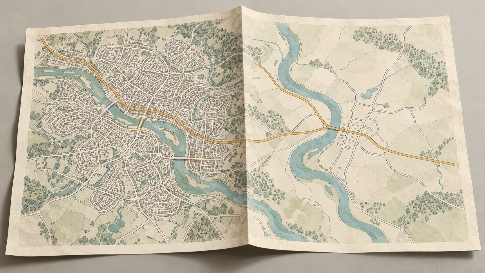
At any one scale, a map has room for only some roads. Choosing them means preserving useful routes and patterns, then drawing the survivors so they can be read without false junctions.
A place for slower thoughts
Maps, surveys and the choices that turn a place into a representation.
Words by Oren Vale
At any one scale, a map has room for only some roads. Choosing them means preserving useful routes and patterns, then drawing the survivors so they can be read without false junctions.
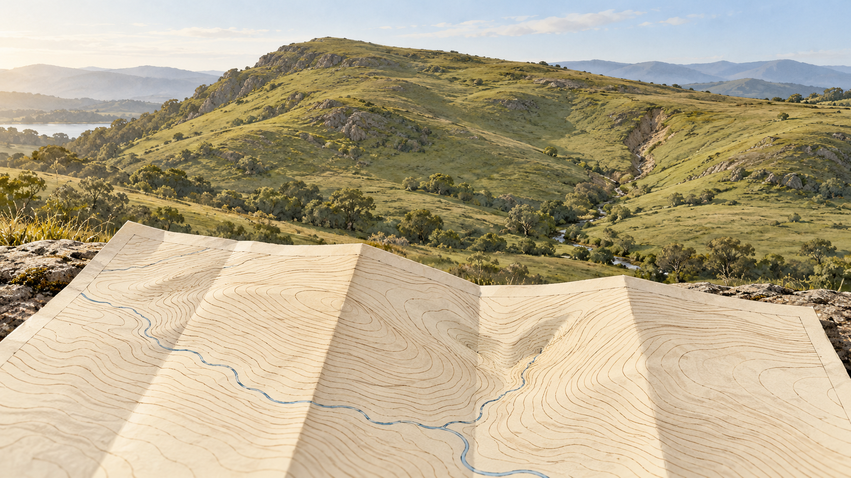
Contours give a hillside selected equal-height lines. The space between them still holds benches, hollows and changes of grade that a map reader has to infer carefully.
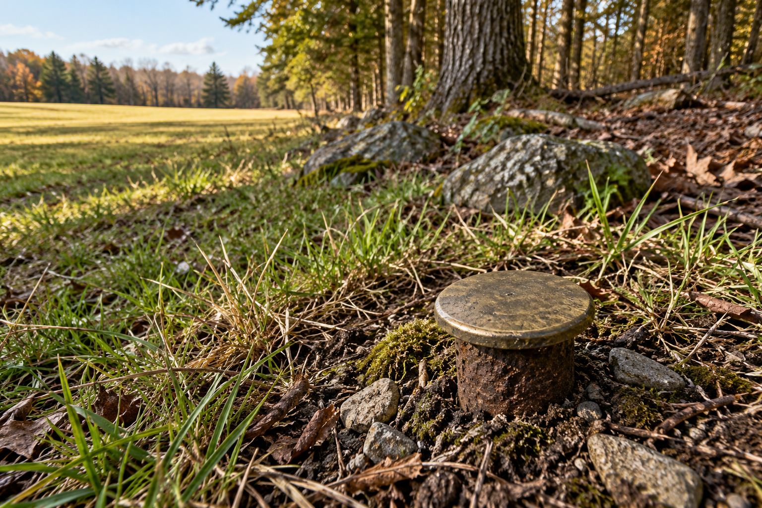
A survey corner survives through more than a metal cap. Original notes, nearby witnesses, later records, and a disciplined search can recover its position when the mark disappears.
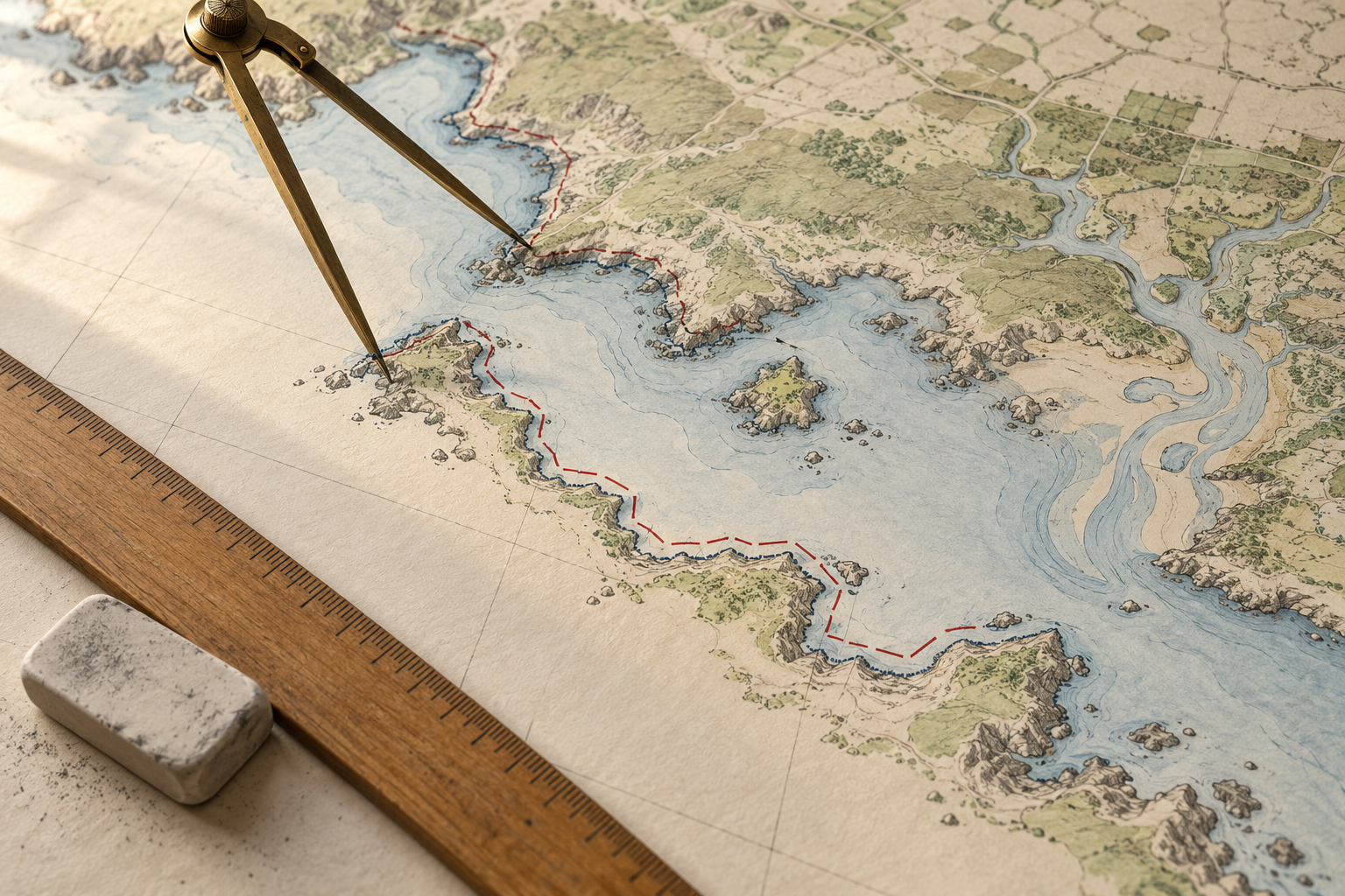
A coastline figure depends on the chosen waterline, the inlets and islands counted, the map's resolution and the survey date. Those choices explain why two careful measurements can differ.
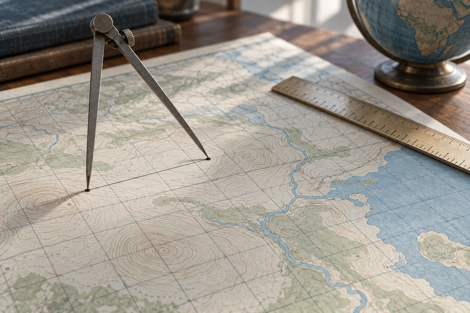
A map's grid gives useful distances, but a projected line, a line on the reference ellipsoid and a measured line on the ground are different quantities. The difference can matter well before a map looks visibly distorted.