What a contour line leaves between its curves
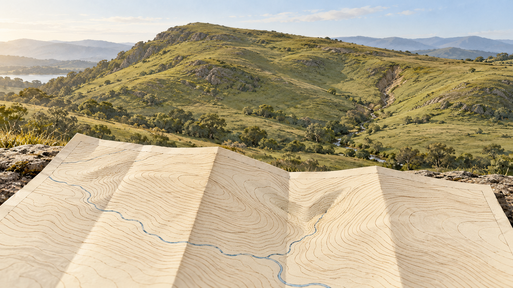
Contours give a hillside selected equal-height lines. The space between them still holds benches, hollows and changes of grade that a map reader has to infer carefully.
Follow a thread
3 stories found Clear filters ↗
Contours give a hillside selected equal-height lines. The space between them still holds benches, hollows and changes of grade that a map reader has to infer carefully.
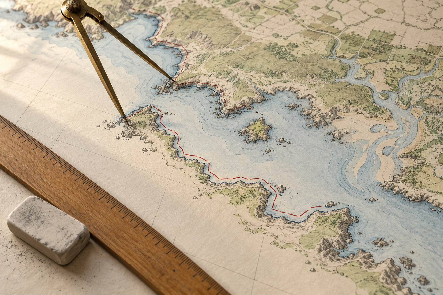
A coastline figure depends on the chosen waterline, the inlets and islands counted, the map's resolution and the survey date. Those choices explain why two careful measurements can differ.
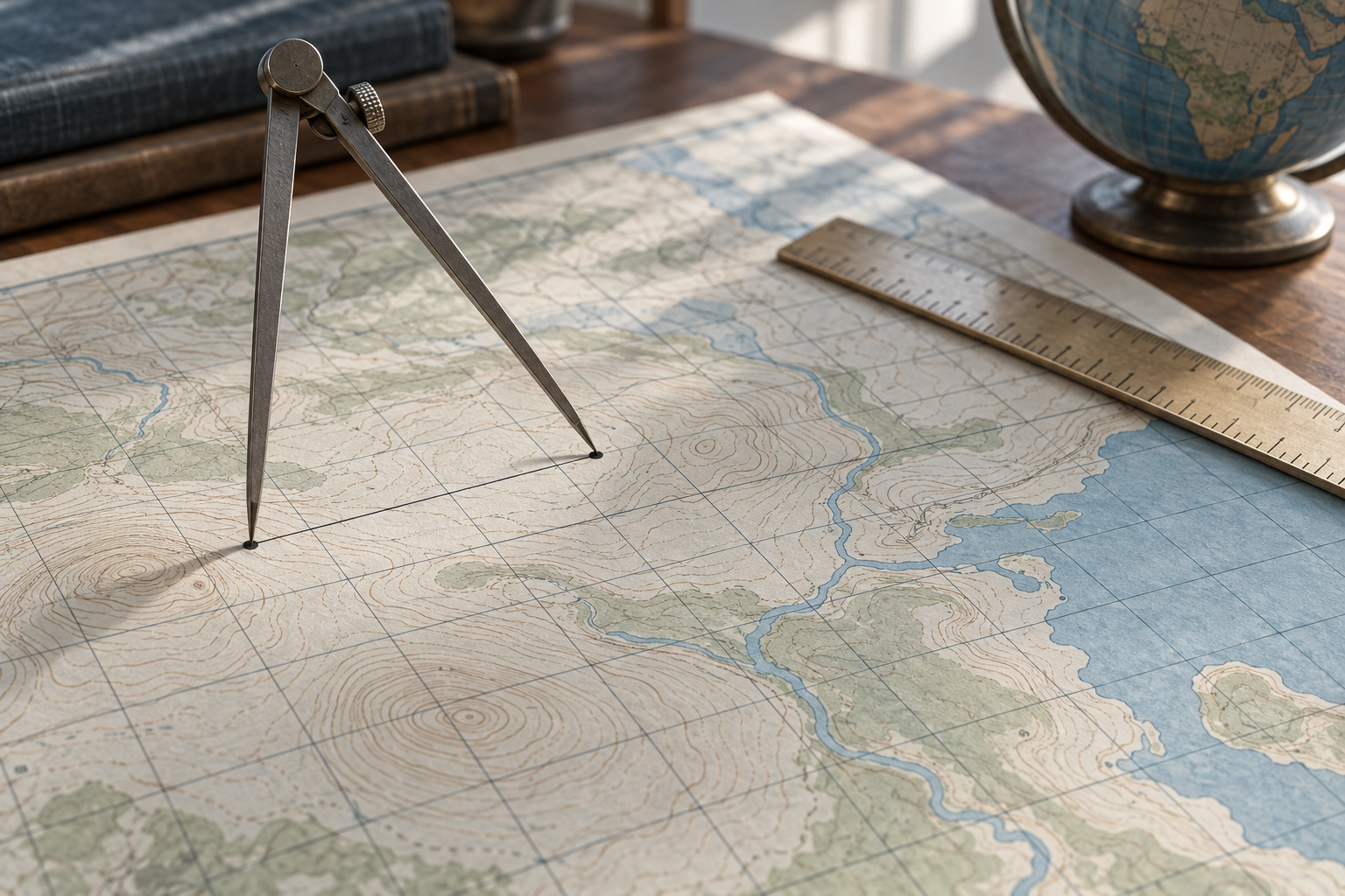
A map's grid gives useful distances, but a projected line, a line on the reference ellipsoid and a measured line on the ground are different quantities. The difference can matter well before a map looks visibly distorted.