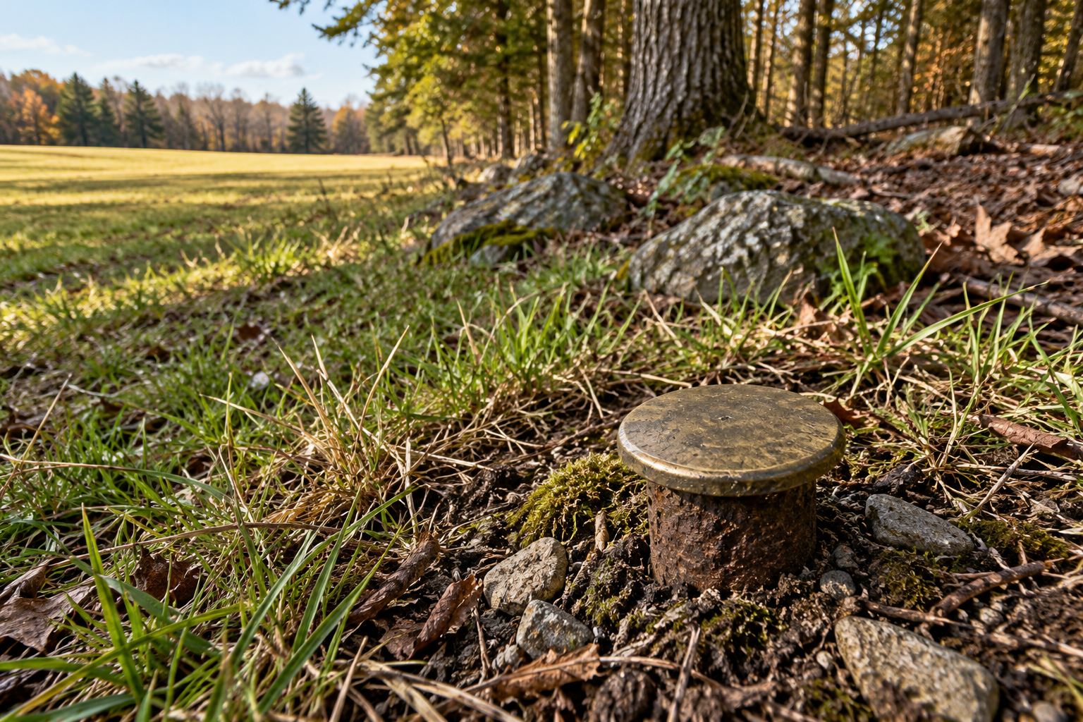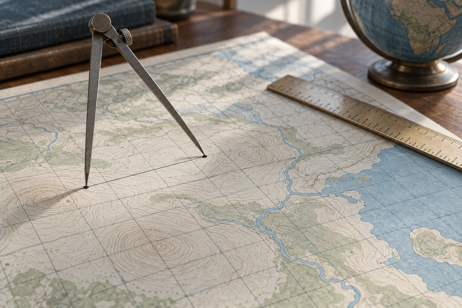
Put two survey points one kilometre apart along the reference ellipsoid at the centre of a Universal Transverse Mercator zone. On the UTM grid, their separation is about 999.6 metres. The missing forty centimetres are not a bad ruler reading. The projection deliberately uses a scale factor of 0.9996 along that central meridian. Esri's description of UTM gives the factor; multiplying 1,000 metres by it gives the grid distance in this narrow, stated case. Move away from the centre, or ask for the distance on the actual ground, and that calculation is no longer enough.
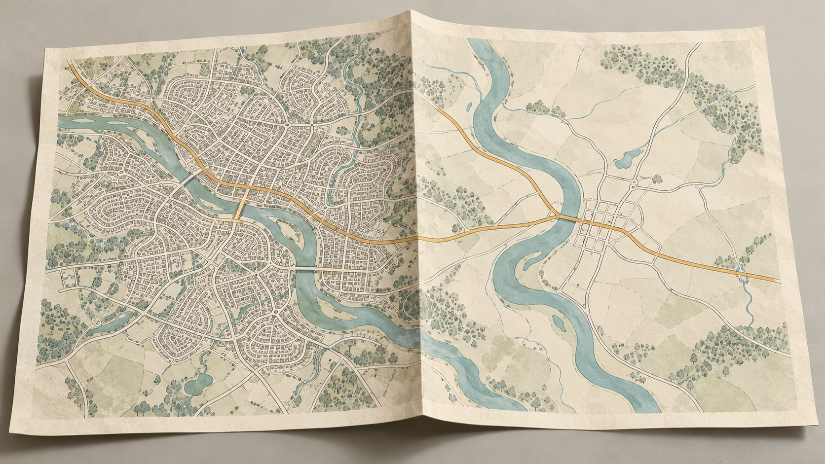
That small example exposes a large ambiguity in the phrase “the distance on the map.” A line between two grid coordinates is a distance in the flat coordinate system. A geodetic distance follows the chosen model of Earth's curved shape, usually an ellipsoid. A horizontal distance at the elevation of two survey marks is another quantity. A person walking between them follows a route, with bends and slopes that a straight line does not include. Each can answer a useful question; trouble begins when one is given the name of another.
Every projection makes such choices. The U.S. Geological Survey's account of projection uses says a flat map cannot preserve true distance, direction, area and shape everywhere at once. On a basic Mercator world map, for example, distortion grows strongly toward the poles, though a straight line has a navigational meaning: a constant bearing. An “equidistant” projection preserves distance only along specified lines or from specified points. Its name is not a guarantee that a ruler will work anywhere on the sheet. John Snyder's USGS working manual catalogs projections chosen for different mapping jobs, including local topographic maps and world atlases. Scale is a property of the particular map and place, not a virtue bestowed by the word “map.”
A number printed in metres is still a grid number
UTM makes the problem easy to miss because its coordinates are in familiar metres. The Earth is divided into sixty six-degree-wide zones. Within each, eastings and northings locate points on a Transverse Mercator grid; the central meridian is assigned an easting of 500,000 metres. The USGS guide to reading UTM coordinates explains those grid numbers and how a topographic map's thousand-metre ticks are used. Subtracting two eastings and northings can give a straight grid distance. Their units do not make the result an exact measurement along the ground.
There is a second limit before any scale factor enters: how well the points were located. The USGS says its modern topographic maps draw on data sources with varied positional accuracy, so the map as a whole has no single accuracy figure; the source details belong in its metadata. A reader may divide a thousand-metre grid square to estimate a point to a ten-metre square, as the coordinate guide describes. That is a way of reading the grid, not evidence that every feature was surveyed to ten metres. Converting a distance with extra decimal places cannot recover precision that the starting positions lack. For detailed work, the accuracy of both plotted points deserves attention before a small projection correction does.
The factor changes across a zone. At the centre UTM's 0.9996 factor makes a small grid distance shorter than the corresponding distance on the ellipsoid; farther out, the factor rises. For a precise conversion, one needs the projection and a scale appropriate to the line being measured. A 1993 National Geodetic Survey coordinate listing defines its point scale factor explicitly: multiply an ellipsoid distance by it to obtain a grid distance at that point. The words “at that point” matter. A single local factor is a useful approximation for a short line, but it is not a universal correction for a long route through changing scale.
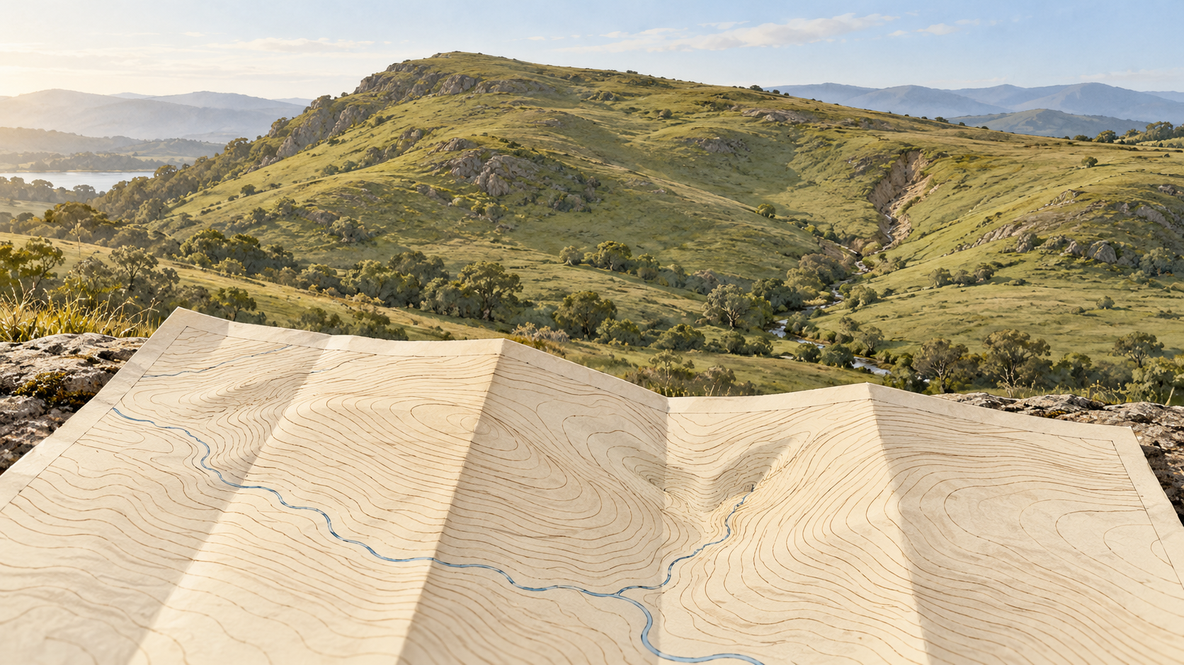
Even that conversion is between the grid and the reference ellipsoid, not necessarily the surface where surveyors stand. The ellipsoid is a smooth mathematical reference; hills, valleys and elevations sit above or below it. The National Geodetic Survey's inverse-program documentation distinguishes geodetic distance computed from latitude and longitude from three-dimensional, mark-to-mark distance that includes height. A horizontal ground distance at a survey area's height differs from both. The gap may be insignificant for a sketch and consequential for work that must fit a built structure.
Surveyors call the difference between projected grid distance and horizontal ground distance linear distortion. In a 2017 National Geodetic Survey workshop abstract, Michael Dennis notes that it can exceed one foot per mile in some published State Plane and UTM systems. That is a statement about particular coordinate systems and places, not a prediction for every mile drawn on a map. The workshop describes low-distortion projections designed to reduce the gap for an area of interest. They cannot erase distortion everywhere, especially over broad or uneven terrain. The design begins with the needed scale and place.
This is why the information in a map's margins matters. Snyder's paper on labeling published projections argues that a user needs parameters such as standard parallels to scale accurately and transfer positions; a projection name alone can leave essential settings unknown. A scale bar helps with ordinary reading, but precise work requires the coordinate reference, its parameters, the location and the distance one actually wants. The same pair of points can be expressed honestly in several numbers, each with a different reference surface or path.
For a hiker estimating a day's route, the straight grid line is already an underestimate if the trail bends; adding its climbs is a separate question. For an engineer staking a short line, a carefully chosen grid-to-ground factor may be worth applying. For someone comparing continents on a world map, the first question is whether the projection was meant to preserve the kind of distance being compared. The useful habit is to ask what was flattened, at what scale, and for what purpose before treating the length of a drawn line as the length of the land.
A thought worth keeping?